Chiatura
The physical mapping process for the municipality included both theoretical and practical aspects for two months. Experts, along with the educational component of the developed mapping methodology, mentored the municipality’s working group through each step of the process.
A detailed list of buildings and spaces was created. To collect information about these objects, research was conducted through inter-sectoral cooperation, fieldwork, and photofilming. The gathered data was then analyzed and recorded on a digital map, and the results were presented.
A detailed list of buildings and spaces was created. To collect information about these objects, research was conducted through inter-sectoral cooperation, fieldwork, and photofilming. The gathered data was then analyzed and recorded on a digital map, and the results were presented.
Physical Mapping Results
In the municipality of Chiatura, 24% of the 37 listed objects are of various purposes, such as old outpatient clinics and medical institutions, as well as several residential houses. Transport infrastructure occupies 22%, industrial and production infrastructure occupies 14%, and educational and research institutions occupy 11%. Cultural objects comprise 11%, administrative buildings 8%, sports infrastructure 5%, and Retail and hospitality facilities 3-3%.
The usage of listed properties follows as 5% in active use, 38% partially utilized, and 57% as nonfunctional.
The structural condition of the mapped buildings is - 22% are structurally stable, 35% are lightly damaged, and 43% are severely damaged.
The ownership of these properties is distributed as follows: 48% private ownership, 3% state ownership, 38% municipal ownership, and 11% are unregistered.
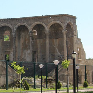
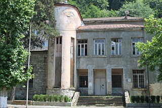
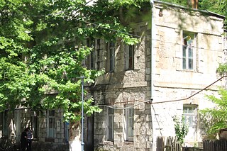
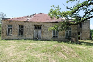
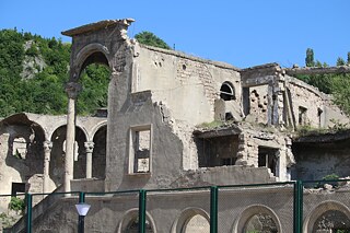
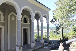
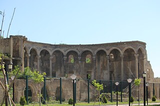
Notable buildings include The 27th sports school named after Temur Maghradze, The Former bank building, The building of the upper station of the 25th cable car, the building of the construction trust, The Cable Car connecting Thalinadze-Merkviladze street, the cable car connecting Mukhadze-Chavchavadze street, the cable car connecting Chavachavadze-Mukhadze street, the Palace of Pioneers and Students, the Giki lab, The upper station of the Avarion cable car.
