Zugdidi
The physical mapping process for the municipality included both theoretical and practical aspects for two months. Experts, along with the educational component of the developed mapping methodology, mentored the municipality’s working group through each step of the process.
A detailed list of buildings and spaces was created. To collect information about these objects, research was conducted through inter-sectoral cooperation, fieldwork, and photofilming. The gathered data was then analyzed and recorded on a digital map, and the results were presented.
A detailed list of buildings and spaces was created. To collect information about these objects, research was conducted through inter-sectoral cooperation, fieldwork, and photofilming. The gathered data was then analyzed and recorded on a digital map, and the results were presented.
Physical Mapping Results
In the municipality of Zugdidi, 30% of the 23 mapped locations are culture and creative industry facilities, while 22% are administrative institutions. Educational buildings account for 13%. Sports facilities, shopping infrastructure, and hospitality establishments each represent 9% of the total, industrial sites comprise 4%.
The usage of listed properties follows as 13% in active use, 35%partially utilized, and 52% as nonfunctional.
Of the mapped buildings, 65% are structurally stable, 22% are lightly damaged, and 13% are severely damaged.
48% of these properties are municipally owned, 22% are privately owned, and 30% are state-owned.
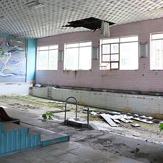
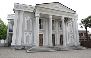
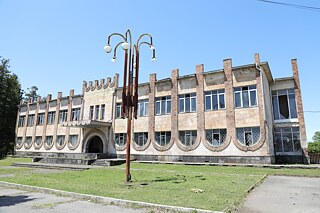
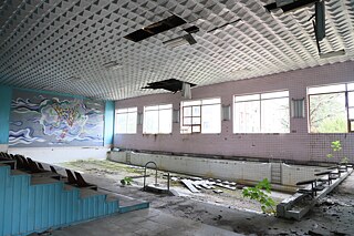
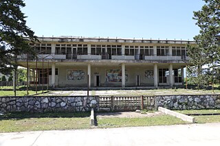
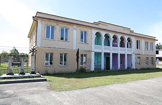
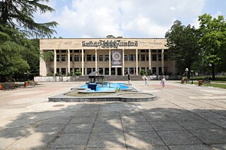
Notable buildings include the Chkaduashi Culture House, the Council Building in Anaklia, the Collective Farm in Jumi, Jikhashkari Culture House, Narazeni Culture House, Rehabilitation Center in Kombinati, Sports Complex Building in Kombinati, the Palace of Student Youth, Art and Culture Development Center, Administrative Building of Enguri Paper Combine.
